Sector Expertise
Vertex Aerial Services provide professional drone surveying solutions across the UK, delivering precision data for complex commercial and residential projects.
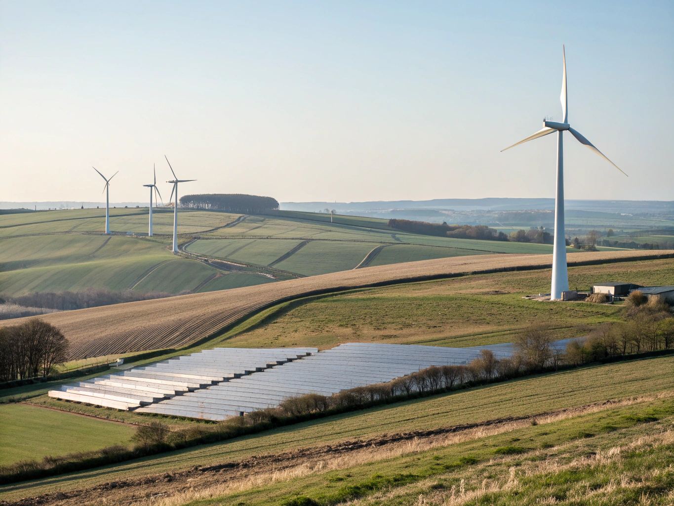
Commercial Surveying
Commercial Surveying
Precision Infrastructure & Asset Mapping
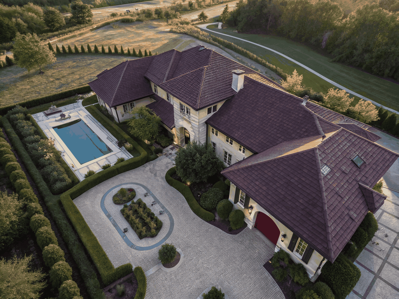
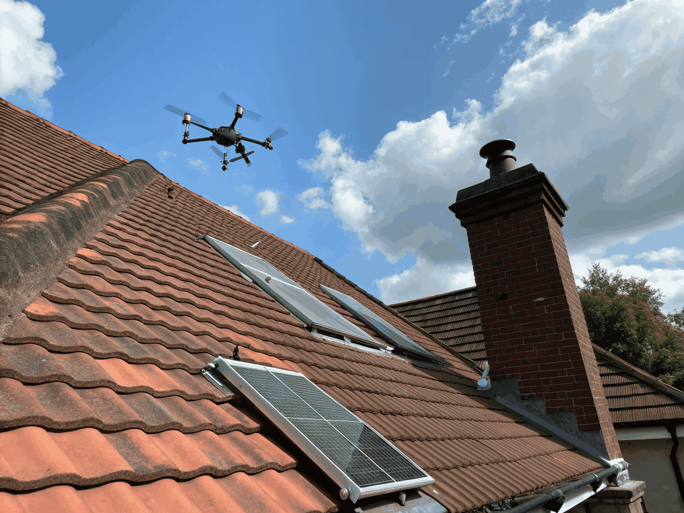
Residential Inspections
Residential Inspections
High-Resolution Roof & Estate Analysis
Technical Compliance
Technical Compliance
CAA Regulated & Fully Insured Operations
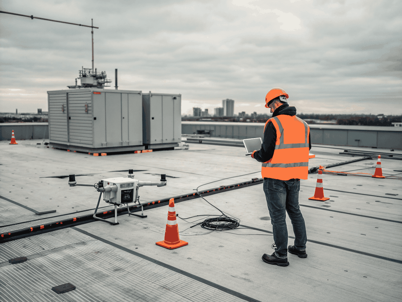
Flight Protocol
Mission Control
Our methodical approach ensures every survey is executed with surgical precision, adhering to strict CAA regulations and professional standards.
Consultation
We define your project parameters and survey objectives. Our CAA-qualified pilots assess site constraints and safety requirements for a seamless operation.
Flight Planning
Precision flight paths are mapped using advanced telemetry. We coordinate with local authorities and airspace control to ensure full regulatory compliance.

Data Capture
Our high-resolution sensors take to the skies. We capture sub-centimetre accurate data across commercial and residential sites with professional efficiency.
Analysis
Raw data is processed into actionable insights. From 3D models to thermal reports, we deliver professional surveying results ready for your immediate use.

Initiate Survey Flight
Our fully insured, qualified pilots are ready to deploy. Contact us today for a professional aerial assessment of your site.
Request Consultation
"The precision of their drone surveys provided us with data accuracy we've never seen before in commercial development."
James Sterling
Verified Client
"Professional, fully insured, and CAA compliant. Vertex Aerial Services is our go-to for all residential site inspections."
Sarah Jenkins
Verified Client